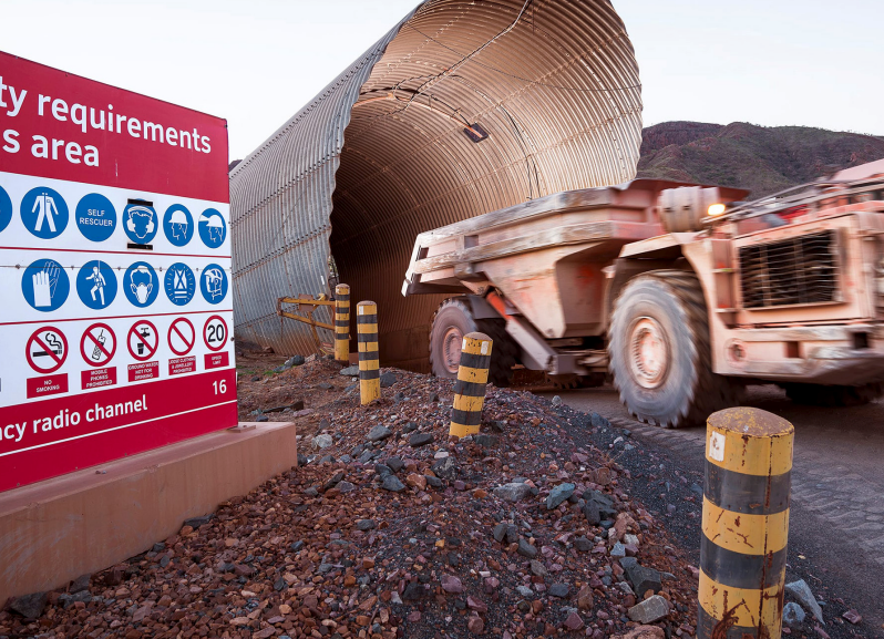
Emesent is a world-leader in drone autonomy, LiDAR mapping, and data analytics. In December 2019, Rio Tinto engaged MineLiDAR to trial Emesent's autonomous Hovermap technology for convergence monitoring at its Argyle Diamond Mine, in Western Australia.
Convergence monitoring is standard practice at underground mine sites. Historically, displacement in drives is measured wall-to-wall, using tape extensometers. This method is proven to be time consuming and only measures fixed, coarsely spaced locations 0.8 to 1.5m above the ground; thus creating a spacial bias. This method (tape extensometers) is sensitive to damage and replacement of wallpins and can expose personnel to significant underground hazards.
How convergence monitoring can be improved using LiDAR
The trial at Argyle Diamond Mine showed LiDAR accuracy is sufficient for displacement monitoring and provides superior areal coverage of target areas. Extraction drives (200m) were scanned in 7 minutes using cost-effective vehicle-based data collection, delivering a significant reduction in underground exposure for Rio Tinto personnel in high risk areas where heavy vehicles operate. Point cloud data was easily imported into mine CAD software enabling engineering, geotech, geology, and survey teams to use the data for multiple purposes: change monitoring, underground stockpiles, construction progress, clash detection, lithological contacts, and bolt location and spacing, etc.
The comprehensive and accurate convergence data delivered by Hovermap provides a basis for improved safety, decision-making and remediation planning at underground sites.
Peter Evans, Director, MineLiDAR published his findings in a detailed white paper that can be found here.
How does Hovermap work?
The video below demonstrates Hovermap's advanced autonomy, obstacle detection and path planning capabilities. Wires 1 mm in diameter were strung across Hovermap's flight path so that, in autonomous flight mode, it had to detect these obstacles and plan a path around them. Hovermap is designed to operate in harsh, inaccessible environments beyond visual line-of-site to capture data in areas where the operator can't see everything that is happening.
How are other mining operations benefiting from Hovermap? Watch this video and learn how Oz Minerals is using Emesent's technology to mine more efficiently.
For more informaiton, visit emesent.io.


