Data management system breaks new ground
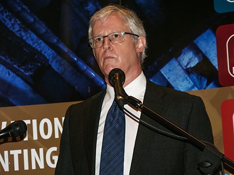
A data management system developed for the Centre for Excellence in Mining Innovation’s (CEMI) Smart Underground Monitoring and Integrated Technologies (SUMIT) research program brings geotechnical hazard assessment in underground mining to a level that never existed before, according to John McGaughey, CEO of Mira Geoscience.
The software solution – Geoscience Integrator – “takes all the multidisciplinary geoscience and mining data and brings it together so analyses and business decisions can be made that take account of all the available data,” including geological data, the geological model itself, drill hole data, stress analysis data, mine geometry, blasting, production and seismicity.
“Everything is not only georeferenced, but also temporally referenced,” said McGaughey. “For the first time it gives operators the capability for any area of the mine – be it a level, a stope, the perimeter around the shaft, whatever volume of ground they’re interested in – to look at all of the data in whatever timeframe is of interest to them.
“If they want to know what the drilling activity was yesterday and understand that and the microseismicity over the last month within the context of the geological model and the stress modeling they’ve done, they can have all of that at their fingertips. We can take all of that data and combine it into a geohazard assessment for whatever kind of geohazard is relevant to them. It could be a roof fall, rockburst, or flooding.”
Mira Geoscience, a Montreal-based company specializing in 3D earth models for mineral exploration and geotechnical hazard assessment, does business with major mining companies around the world and has offices in Vancouver, Brisbane and Perth. A fifth office was opened in Sudbury last month.
“A requirement for making the best possible earth models upon which business decisions can be made is that the data is well organized and that you are able to track data through the modeling process,” said McGaughey. “It was that realization that we had several years ago and the skill set we developed building on that realization that led us to the SUMIT project.”
Prior to the development of Geoscience Integrator, Mira Geoscience built a proprietary data management system for Rio Tinto called CAVECAD for use in their block cave mines.
“It was through Rio Tinto’s CAVECAD project that we assembled a team with the capability for building data management systems. When CEMI realized it needed a data management system for the data that would be generated in the SUMIT project, they turned to us,” said McGaughey.
Geoscience Integrator will be commercially released October 3 and 4 at Mira Geoscience’s annual client meeting in Montreal, but there are already five planned deployments of the system before the end of this year, including two commercial pre-release sales and three research project deployments.
In addition to housing all of the data collected over the six-year SUMIT project, Geoscience Integrator will be deployed at the Mining Observatory Data Control Centre, an incubator for data analytics at the SNOLAB in Sudbury. It will also be used to house all of the data from the $12 million Footprints mineral exploration project overseen by principal investigator and project director, Mike Lesher, professor and research chair in mineral exploration at Laurentian University.
Mira Geoscience leads a research project for CEMI’s Ultra-Deep Mining Network that “will take what we’ve done with Geoscience Integrator and enable real-time geohazard forecasting and reporting at the minesite,” said McGaughey. This deployment of Geoscience Integrator is scheduled for piloting at Glencore’s Nickel Rim South Mine in Sudbury by year-end.
Currently, a lot of time is spent in the mining industry organizing data collected by different systems, said McGaughey.
“A lot of data ends up in Excel spreadsheets where it’s trapped on people’s laptops or workstations. There’s no easy access to it and what happens is you end up with individual staff becoming point persons or champions for individual datasets and the rest of the organization has to rely on them in order to get to the data. What we’re trying to do with Geoscience Integrator in addition to taking geohazard assessment to a new level is to take all of the different data that we have available at an underground mine and make it available to everyone in a standardized way, so there’s never a bottleneck getting to the data to solve a problem.
“Never before have people been able to bring together all of these different types of data to try to understand correlations and relationships that they can use to adjust operational procedures, and improve not only safety, but also efficiency.”
McGaughey has a long association with Sudbury and has seen its stature as a centre of mining expertise blossom.
“As far as I’m concerned, Sudbury is the place to be for access to the best technical thinkers in the Canadian mining industry. That’s why we established an office there.”


