The OZ Minerals Carrapateena project is a copper-gold underground mine located in the Gawler craton in South Australia. This area also hosts BHP’s Olympic Dam polymetallic mine.
Starting production late 2019, Carrapateena produced 27,632 tonnes of copper and 53,089 ounces of gold in 2020. As the deposit is a near vertical pipe and sits 500m below the surface, the mine employs the sub-level caving mining method and is transitioning to a block cave.
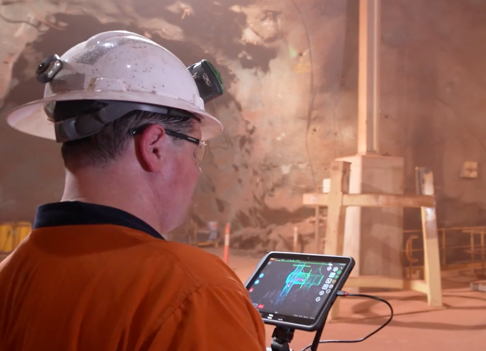
The mine surveyors used to scan a cave using a CMS scanner attached to a boom. Surveyors were exposed to safety risks every scan as they had to carry heavy equipment over a bund and scan from an open brow. The CMS method also caused production delays because when a bund was not in the correct position a bogger operator would need to move it.
The survey team sought a solution that removed the safety risks, production delays and overcame the poor quality data associated with CMS.
Data-driven mining with Hovermap
Hovermap is a SLAM-based LiDAR mapping system. It enables data capture of critical underground mine excavations and captures new insights to optimize mine development and operations. When mounted on a drone, Hovermap enables autonomous flight, beyond line-of-sight and communication range, in hazardous, GPS-denied environments.
Carrapateena purchased their first Hovermap unit in 2019. It’s now used by multiple departments to scan hang-ups in the cave, vertical raises, underground infrastructure and for convergence monitoring in drifts.
If there is a hang-up in a cave, an area that hasn’t come down when fired, Hovermap is flown in to scan the area and give engineers the data they need to resolve the problem.
As Hovermap can be lowered down vertical infrastructure, the survey team capture as-builts of raisebores to compare performance to design. Whereas they could pick up only the top and bottom using standard survey methods, they are now able to accurately measure convergence and performance to design, which is important for engineering, as well ensuring drifts are not designed close to an as-built rise.
Other mine infrastructure, below and above ground, is scanned using Hovermap. The survey team use Hovermap for as-builts, convergence and space management of underground open voids and critical infrastructure such as the crusher chamber.
Watch this video and learn how OZ Minerals is using Emesent’s Hovermap technology to mine more efficiently.
LiDAR mapping technology simplifies convergence monitoring
The uses of Hovermap in the mine expanded to include drift convergence monitoring. Geotechnical engineers scan drifts for deformation to monitor convergence and maintain safety within the mine. Before using Hovermap convergence monitoring was time consuming and involved using a tape measure to take manual measurements. Now geotechs perform a quick and easy walking scan of drifts to generate accurate, high resolution data with 360° coverage. By comparing scans across time intervals they can pick up minute changes in ground conditions and the ground support. In closed off drifts, the geotech team fly Hovermap to capture data. Using Hovermap keeps personnel safe and generates complete, accurate datasets that help inform ground support planning.
Learn more about convergence monitoring and how it can be implemented at your mine. Download this technical paper about convergence monitoring at Rio Tinto’s famous Argyle Diamond Mine, where multiple capture methods were tested.


